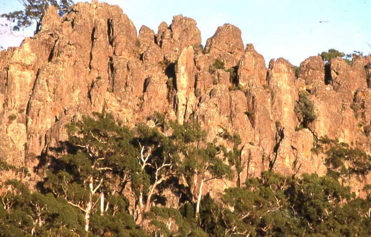
A peculiar cooling process
Hanging Rock is the geological remainder of a volcanic event that occurred approximately 6.25 million years ago. It is not a volcanic plug or crater but a mamelon, a term for a steep-sided mound formed when very stiff, viscous magma oozed from a narrow vent and congealed in place instead of flowing away. This particular structure rises 105 meters above the surrounding plain. The magma that formed Hanging Rock was a specific type of soda trachyte. As this dense lava cooled and contracted, it fractured into the rough, vertical columns visible today.
The rock's composition is part of its story. It is a solvsbergite, a rare variety of trachyte with a high concentration of sodium. This specific mineralogy is found in only a few other locations globally, including Norway and Sweden. The interaction between the original soda trachyte and sodium-rich groundwater contributed to its final composition. Hanging Rock is the southernmost volcano in a chain formed as the Australian tectonic plate moved northward over a stationary volcanic hotspot over a period of 27 million years. This same hotspot created other volcanic provinces, including the Glass House Mountains in Queensland and the Warrumbungles in New South Wales.