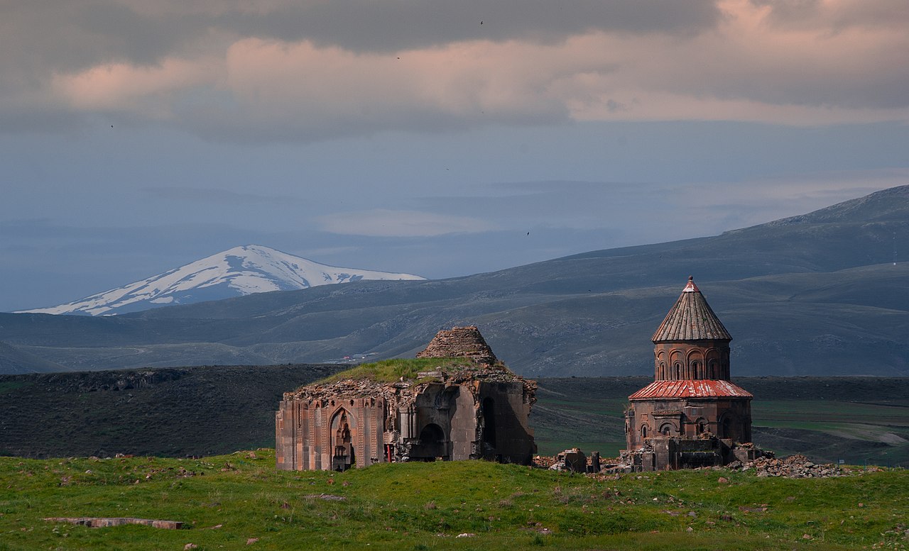
A stone record of seismic history
The abandoned city of Ani, set on a plateau overlooking the Turkish-Armenian border, is an unintentional, long-term seismic observatory. Its extensive city walls, which stretch for about 5 kilometers, are a physical ledger of the region's violent tectonic past. This field of study, known as archaeoseismology, uses human-made structures to identify and date earthquakes that occurred long before the invention of modern seismographs.
The city's location explains the frequency of these events. Ani sits on the Anatolian plate, which is being squeezed westward by the collision of the Arabian and Eurasian plates. This movement is accommodated by two major fault systems: the North Anatolian Fault and the East Anatolian Fault. Ani is situated in this tectonically active zone, subjecting it to repeated, powerful ground shaking over centuries.
The primary fortifications, particularly the powerful double walls on the city's vulnerable northern side, were constructed under the Bagratid Armenian King Smbat II between 977 and 989. Made from local volcanic basalt tuff, these walls feature massive, semi-circular towers. When an earthquake strikes, it leaves distinct patterns of damage, including cracked towers, collapsed sections, and shifted masonry. These scars in the stone record past seismic events.
Reading the rubble
Researchers can "read" the history of earthquakes in the walls by identifying distinct episodes of repair. After a damaging quake, builders would reconstruct the broken sections. Their methods and materials often differed from the original construction, leaving a visible patch. These changes in masonry style, mortar composition, and stone type allow scientists to distinguish one repair campaign from another.
This physical evidence is then cross-referenced with historical documents that record major earthquakes. A devastating earthquake in 1319 is well-documented and is considered a major factor in Ani's eventual decline. The dome of Ani's cathedral, for example, collapsed during this event. By locating the specific repair work that followed this quake, researchers can calibrate their methods. They can then identify other repair layers and link them to other known seismic events, like those in 1123 and 1647, or even identify previously unrecorded quakes.
This technique creates a timeline of seismic activity that extends much further back than the instrumental record. Understanding the frequency and magnitude of past earthquakes helps geologists assess the long-term behavior of local faults. This data on recurrence intervals is valuable for calculating future earthquake risk in the region. The walls of Ani, built to repel armies, now serve as a defense against a different kind of threat by providing knowledge about the earth itself.