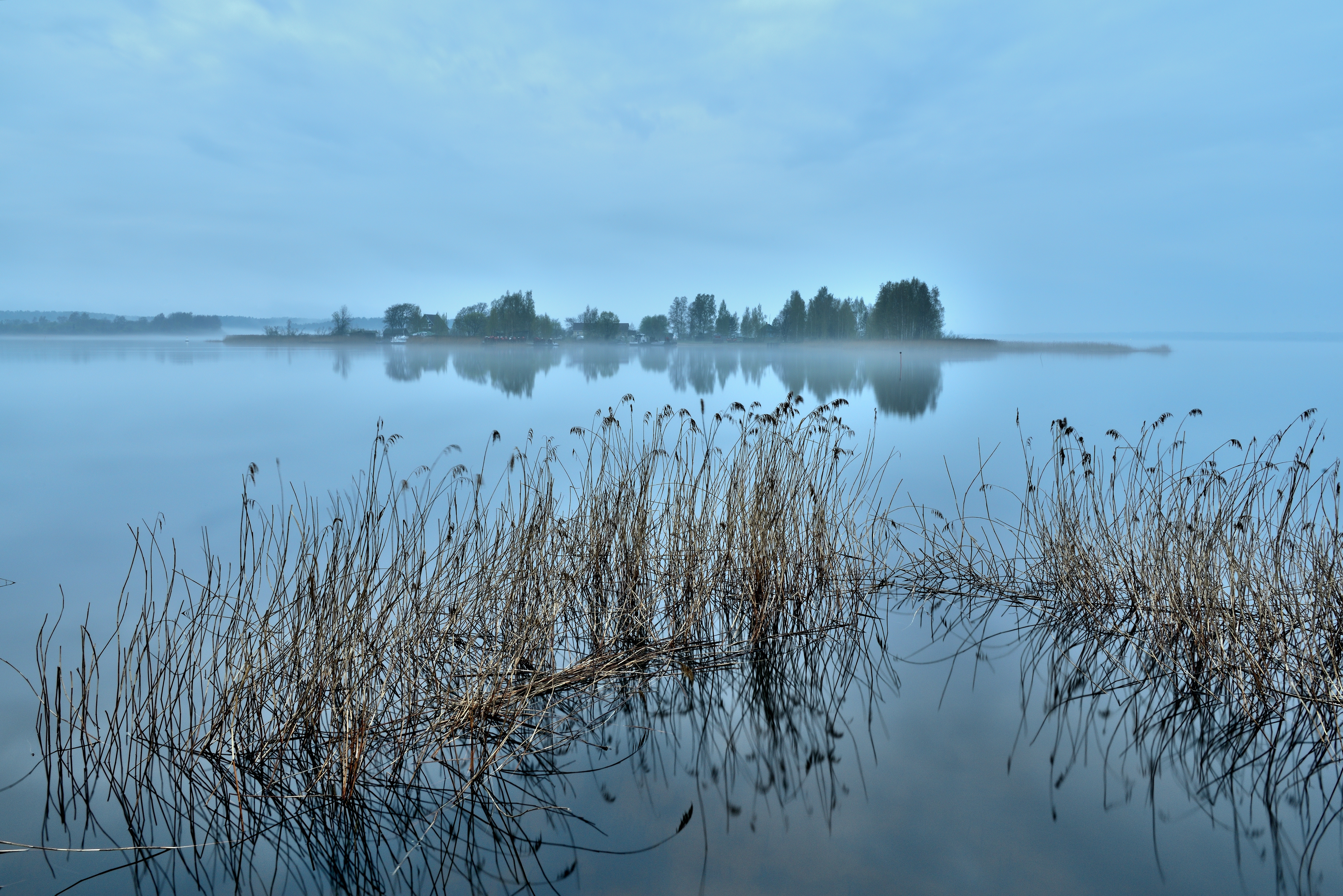
An Atmosphere Born from Water
The Kuril Islands exist in a near-permanent state of mist, a direct consequence of a massive oceanic collision. Here, two of the Pacific Ocean's great currents meet: the warm, salty Kuroshio from the south and the cold, nutrient-rich Oyashio from the Arctic. The Kuroshio, the Pacific's equivalent of the Atlantic's Gulf Stream, carries tropical water northwards, with surface temperatures averaging around 20°C. By contrast, the Oyashio, originating in the Bering Sea, transports cold subarctic water, which can be as low as 2.5–3.0°C.
When warm, moisture-laden air from above the Kuroshio drifts over the chilled surface of the Oyashio, the air temperature plummets to its dew point. This rapid cooling forces water vapor to condense into tiny droplets, forming a dense sea fog. This process, known as advection fog, is so persistent that the Kuril region experiences some of the highest frequencies of sea fog in the Northwest Pacific, with occurrences peaking at 60% during the summer months. The fog banks are a defining feature of the confluence, reducing visibility to less than a kilometer and creating an ethereal, disorienting environment for much of the year.
Life Sustained by Mist
The persistent fog is a source of moisture for the islands' flora, directly shaping the unique plant communities. This is especially true on the Pacific-facing coasts, which are most exposed to the cold currents and oceanic winds. The constant dampness supports dense thickets of Kuril bamboo, Sasa kurilensis, the world's most northern-growing bamboo. This species, whose young shoots are a prized edible delicacy in Japan, forms vast, nearly impenetrable stands.
The fog also allows for the growth of lush temperate rainforests and extensive peat bogs, particularly on the southern islands like Kunashir. These forests contain a mix of coniferous trees like fir and spruce, and broadleaf trees such as oak and birch. The high humidity creates ideal conditions for a diversity of mosses, lichens, and ferns that coat tree trunks and the forest floor. The vegetation shows a clear divide; the foggy, cool Pacific side encourages moisture-loving shrubs and mires, while the more sheltered Sea of Okhotsk side supports different plant communities.
The Cartographer's Challenge
Historically, the relentless fog made the Kuril Islands one of the most difficult archipelagos on Earth to explore and map. For centuries, mariners struggled to navigate the treacherous, rock-strewn waters with near-zero visibility. The indigenous Ainu people, who have inhabited the islands for millennia, developed sophisticated navigation techniques that did not rely on sight. They likely used their knowledge of water currents, temperature changes, and even the behavior of birds to find their way between islands.
Early Russian and Japanese explorers produced maps riddled with inaccuracies, often misjudging the size, shape, and number of the islands. The chain's formidable combination of fog, volcanoes, and frequent earthquakes and tsunamis created a hazardous environment that discouraged comprehensive surveys. This geographic uncertainty contributed to the long-standing political disputes over the islands, as accurate borders were nearly impossible to delineate until the advent of modern remote sensing technologies.