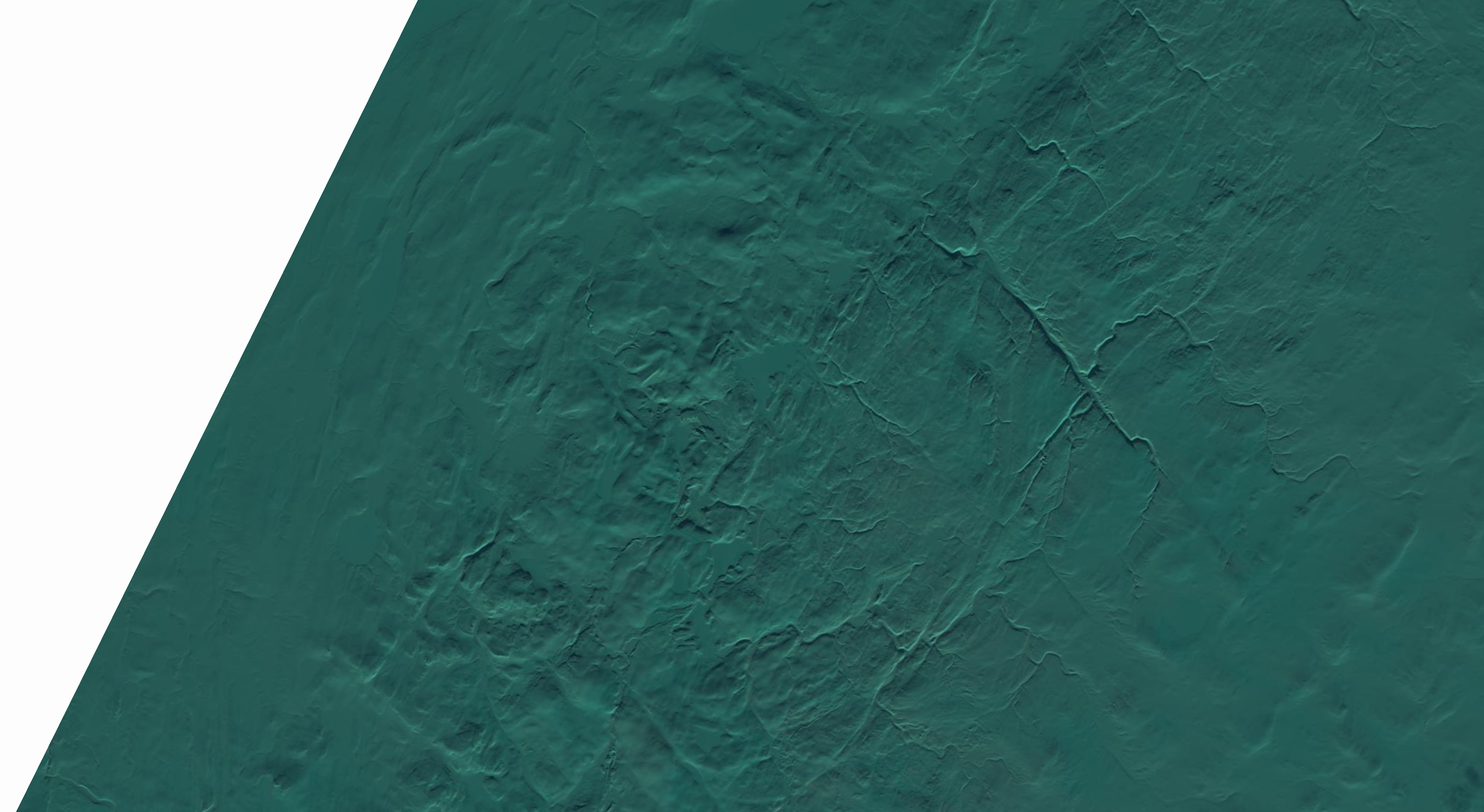
A scar on the arctic
The Tunnunik Impact Structure is a massive, roughly 28-kilometer wide scar located on Victoria Island in the Canadian Arctic. For much of history, its true origin was a mystery. From the air, it appears as a roughly circular feature in an otherwise flat landscape of Paleozoic sedimentary rocks. Geologists had noted the anomaly, but without definitive proof, its formation remained unexplained. The entire region was scraped and flattened by glaciers, which removed the crater's rim and any melted rock, leaving only the eroded "roots" of the structure visible today.
The breakthrough came in 2010. Geologist Brian Pratt from the University of Saskatchewan and Keith Dewing of the Geological Survey of Canada were conducting an aerial survey. They identified shatter cones—cone-shaped fractures in rocks with distinctive radiating lines—in the center of the circular feature. These features are considered definitive proof of a meteorite impact because they can only be formed by the immense shockwave, traveling faster than the speed of sound through rock, that such an event produces. Their discovery confirmed Tunnunik as Canada's 30th known meteorite impact structure.