An earthquake that shook mountains apart
At 2:04 AM local time on August 19, 1992, a powerful magnitude 7.3 earthquake struck a remote, sparsely populated area of the northern Tien Shan mountains. Known as the Suusamyr earthquake, its epicenter was located beneath the Aramsu Range in what was then Kyrgyzstan, close to the border with Kazakhstan. The intense shaking, originating from a south-dipping thrust fault between 5 and 21 kilometers deep, triggered catastrophic failures on the surrounding mountainsides. The event killed 75 fatalities, with 14 directly caused by the resulting landslides.
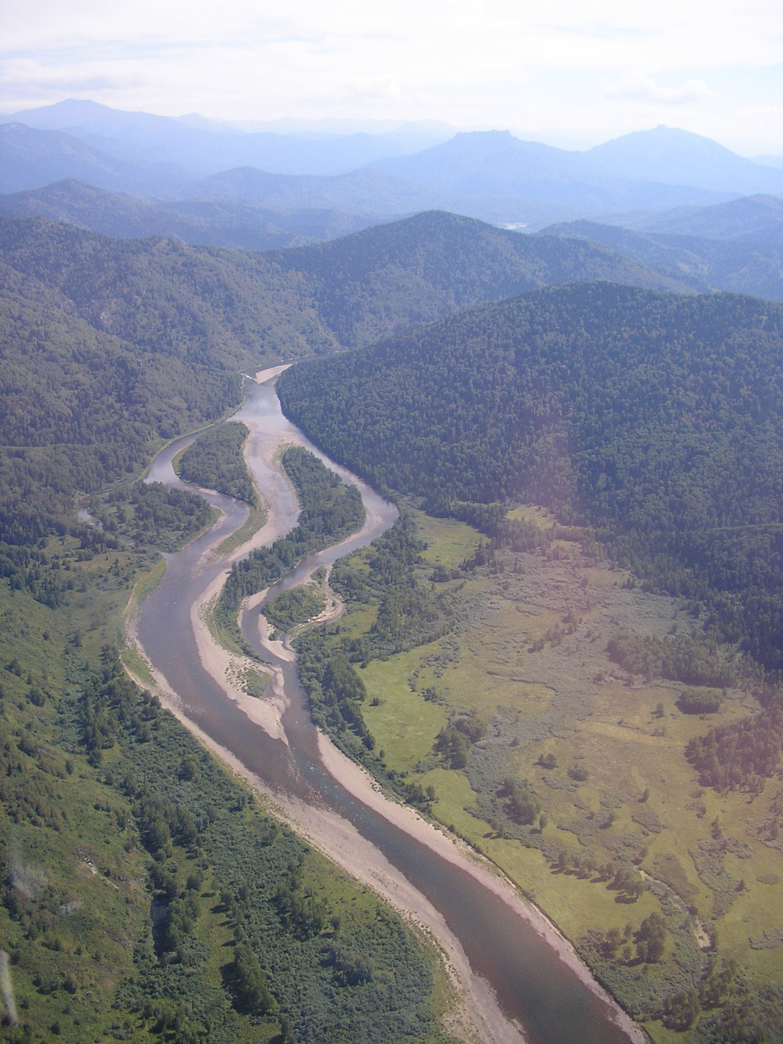
The earthquake caused widespread mass movements across an area of more than 2,300 square kilometers. The largest of these was the Belaldy rock avalanche, which involved an estimated 30 to 35 million cubic meters of rock. This massive slide of earth and rock surged into a narrow valley, forming a natural dam across the Belaldy and Jalpaksu Rivers. The dam stood approximately 80 meters high and 500 meters wide, creating two small lakes behind it. Ten months later, in June 1993, snowmelt caused the dam to partially fail, releasing a destructive debris flow that traveled 30 kilometers downstream and damaged the village of Torkent. Landslides also blocked infrastructure, including the main Bishkek-Osh highway.
Why ridges fail
The Suusamyr earthquake provided a real-world laboratory for studying how topography affects seismic ground motion. The pattern of landslides was not random; the most severe rockfalls and avalanches initiated high on mountain peaks and along the crests of ridges. Valleys and lower slopes were comparatively less affected. This observation confirmed a long-held geological theory: topographic amplification.
When seismic waves travel from the dense rock deep underground into the complex, irregular shapes of a mountain range, their energy gets focused and amplified at sharp topographic features like peaks and ridges. Seismometer recordings from the event demonstrated this effect with unusual clarity. Instruments placed on ridge crests measured ground motion and peak accelerations up to three times stronger than those recorded on the valley floors.
This amplification explains why the mountains seemed to shake themselves apart from the top down. The intense, amplified shaking at the peaks exceeded the shear strength of the rock, causing catastrophic failure. The Chet Korumdy ridge, in particular, displayed extensive ground failures, with many landslides developing from pre-existing ground instabilities that were pushed past their breaking point by the amplified shaking. The event became an important case study, showing how mountain landscapes can modify and intensify the destructive power of an earthquake.