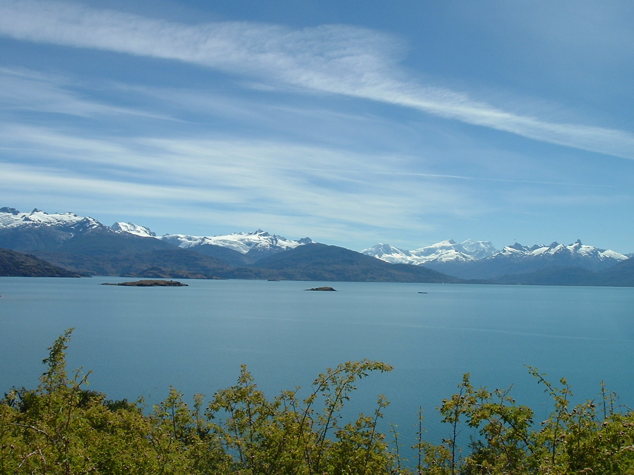
South America's second-largest lake formed when glaciers excavated a basin straddling the Andes. Seismic profiling reveals 500 meters of glacial sediments recording ice advances and retreats.
Jorge Morales Piderit, Public domain, via Wikimedia Commons
An Icy Architect
Spanning the border between Chile and Argentina, General Carrera Lake—known as Lake Buenos Aires in Argentina—is a vast body of water with a dramatic origin story. This entire 1,850 square kilometer basin was carved by the immense power of the Patagonian Ice Sheet during the Pleistocene Epoch. Tongues of ice, flowing eastward from the Andes, scoured a deep trough into the landscape. With a maximum depth of 586 meters, the lakebed plunges well below sea level, evidence of the erosive force of the glaciers that created it.
The lake is an example of a glacial trough, shaped first by tectonic faulting that created a depression, which was then channeled and deepened by advancing ice. During the Last Glacial Maximum, around 21,000 years ago, ice completely filled this valley. As the climate warmed and the ice sheet began its retreat after about 18,000 years ago, meltwater became trapped between the receding glacier front and large terminal moraines, ridges of rock and debris,that blocked drainage to the east. This process formed a massive proglacial lake, the direct ancestor of the one seen today.
A Lake's Shifting Allegiance
One of the lake's most unusual features is its hydrological history. For much of its early existence, the lake drained eastward, its waters flowing via the Deseado River to the Atlantic Ocean. The massive moraines left by the glaciers acted as a natural dam. However, as the Patagonian Ice Sheet continued to shrink, a new, lower drainage path opened to the west.
This monumental shift in drainage occurred between 13,000 and 8,000 years ago. The lake abandoned its Atlantic outlet and began to flow westward through the newly carved Baker River, eventually reaching the Pacific Ocean. Today, the Baker is Chile's most voluminous river, carrying the glacial meltwater of the region to the sea. The former eastward channel, the Deseado River valley, is now a mostly dry "paleochannel" that provides clear geological evidence of this ancient drainage reversal.
The Sedimentary Archive
The lakebed holds a detailed climate record stretching back thousands of years. The 500 meters of sediment mentioned in seismic profiles are layered deposits that are layered deposits a natural archive. Each layer contains information about the environmental conditions at the time of its deposition. Coarser sediments indicate periods of strong glacial melt and advance, while finer particles suggest calmer conditions or glacial retreat. Volcanic ash from eruptions of nearby Andean volcanoes, such as the Hudson Volcano, is also preserved within these layers, providing precise markers for dating the sediment core. By studying these deep sediments, paleoclimatologists can reconstruct past climate fluctuations, track the movement of the Patagonian Ice Sheet, and better understand the environmental history of the Southern Hemisphere.
💡Fun Facts
The lake has two names: it is called General Carrera in Chile and Lake Buenos Aires in Argentina.
Its intense turquoise color is caused by "glacial milk," fine rock particles suspended in the meltwater from surrounding glaciers that refract sunlight.
Over its history, the lake has drained into two different oceans, first the Atlantic and now the Pacific.
On the Chilean side, wave action over the last 6,200 years has carved stunning caverns and columns into marble outcrops along the shore, known as the Marble Caves (Capillas de Mármol).
The lake is a natural feature and is accessible 24/7. Tours to specific sites operate during daylight hours.
Admission
Access to the lake is free. Guided tours, such as boat trips to the Marble Caves on the Chilean side, have associated costs.
Accessibility
The region is remote and the terrain is rugged. Access is via Argentina's National Route 40 or Chile's Carretera Austral. Many viewpoints are accessible by car, but exploring the shoreline may require navigating uneven ground.